
Thank you for supporting this site ❤️
Make a donation
Make a donation
Sebong Pereh topographic map
Click on the map to display elevation.
Thank you for supporting this site ❤️
Make a donation
Make a donation
About this map
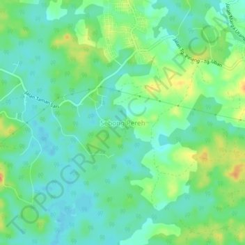
Name: Sebong Pereh topographic map, elevation, terrain.
Location: Sebong Pereh, Bintan, Riau Islands, Sumatra, Indonesia (1.08620 104.30222 1.12620 104.34222)
Average elevation: 13 m
Minimum elevation: -1 m
Maximum elevation: 37 m
Thank you for supporting this site ❤️
Make a donation
Make a donation