
Thank you for supporting this site ❤️
Make a donation
Make a donation
Kampung Batin topographic map
Click on the map to display elevation.
Thank you for supporting this site ❤️
Make a donation
Make a donation
About this map
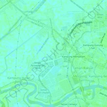
Name: Kampung Batin topographic map, elevation, terrain.
Location: Kampung Batin, Alor Setar, Kota Setar, Kedah, 05150, Malaysia (6.10974 100.31855 6.14974 100.35855)
Average elevation: 4 m
Minimum elevation: 0 m
Maximum elevation: 7 m
Thank you for supporting this site ❤️
Make a donation
Make a donation
Other topographic maps
Click on a map to view its topography, its elevation and its terrain.