
Sandy topographic map
Click on the map to display elevation.
Sandy
According to the United States Census Bureau, the city has a total area of 3.14 square miles (8.13 km2), consisting almost entirely of land. Its elevation is 967 feet (295 m).
About this map
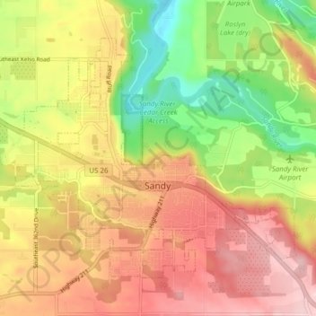
Name: Sandy topographic map, elevation, terrain.
Location: Sandy, Clackamas County, Oregon, 97055, United States (45.38123 -122.30425 45.42199 -122.22780)
Average elevation: 247 m
Minimum elevation: 94 m
Maximum elevation: 383 m