
Thank you for supporting this site ❤️
Make a donation
Make a donation
Old Washington topographic map
Click on the map to display elevation.
Thank you for supporting this site ❤️
Make a donation
Make a donation
About this map
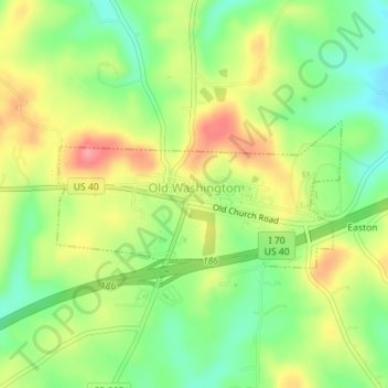
Name: Old Washington topographic map, elevation, terrain.
Location: Old Washington, Guernsey County, Ohio, 43768, United States (40.03306 -81.45709 40.04331 -81.43120)
Average elevation: 299 m
Minimum elevation: 257 m
Maximum elevation: 348 m
Thank you for supporting this site ❤️
Make a donation
Make a donation
Other topographic maps
Click on a map to view its topography, its elevation and its terrain.