
Shefford topographic map
Interactive map
Click on the map to display elevation.
About this map
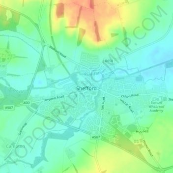
Name: Shefford topographic map, elevation, terrain.
Location: Shefford, Central Bedfordshire, Angleterre, Royaume-Uni (52.02550 -0.35092 52.05179 -0.31622)
Average elevation: 50 m
Minimum elevation: 34 m
Maximum elevation: 82 m