
Sagara topographic map
Click on the map to display elevation.
About this map
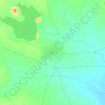
Name: Sagara topographic map, elevation, terrain.
Location: Sagara, Shahapura taluku, Yadgir District, Karnataka, India (16.60393 76.77962 16.64393 76.81962)
Average elevation: 415 m
Minimum elevation: 399 m
Maximum elevation: 450 m