
Thank you for supporting this site ❤️
Make a donation
Make a donation
Romãs topographic map
Click on the map to display elevation.
Thank you for supporting this site ❤️
Make a donation
Make a donation
About this map
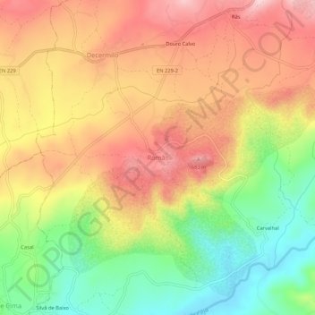
Name: Romãs topographic map, elevation, terrain.
Location: Romãs, Sátão, Viseu, 3560-020, Portugal (40.72349 -7.67033 40.76349 -7.63033)
Average elevation: 580 m
Minimum elevation: 456 m
Maximum elevation: 688 m
Thank you for supporting this site ❤️
Make a donation
Make a donation