
Rosa topographic map
Click on the map to display elevation.
About this map
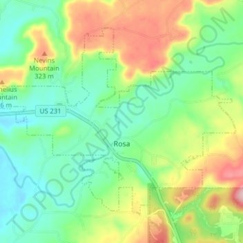
Name: Rosa topographic map, elevation, terrain.
Location: Rosa, Blount County, Alabama, United States (33.97072 -86.53904 34.01085 -86.47634)
Average elevation: 234 m
Minimum elevation: 164 m
Maximum elevation: 359 m