
Thank you for supporting this site ❤️
Make a donation
Make a donation
Le Rat topographic map
Click on the map to display elevation.
Thank you for supporting this site ❤️
Make a donation
Make a donation
About this map
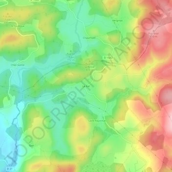
Name: Le Rat topographic map, elevation, terrain.
Average elevation: 798 m
Minimum elevation: 715 m
Maximum elevation: 905 m
Thank you for supporting this site ❤️
Make a donation
Make a donation
Other topographic maps
Click on a map to view its topography, its elevation and its terrain.
Lac de Servières
France > Nouvelle-Aquitaine > Corrèze > Peyrelevade > Servières
Average elevation: 758 m