
Thank you for supporting this site ❤️
Make a donation
Make a donation
Gilly topographic map
Click on the map to display elevation.
Thank you for supporting this site ❤️
Make a donation
Make a donation
About this map
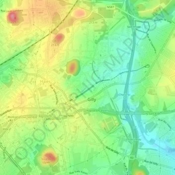
Name: Gilly topographic map, elevation, terrain.
Location: Gilly, Charleroi, Hainaut, Wallonie, 6060, Belgique (50.40936 4.46038 50.44317 4.50755)
Average elevation: 142 m
Minimum elevation: 100 m
Maximum elevation: 199 m
Thank you for supporting this site ❤️
Make a donation
Make a donation
Other topographic maps
Click on a map to view its topography, its elevation and its terrain.
Thank you for supporting this site ❤️
Make a donation
Make a donation