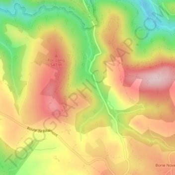
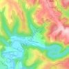
Click on the map to display elevation.
Name: 81360 topographic map, elevation, terrain.
Location: 81360, Montredon-Labessonnié, Castres, Tarn, Occitanie, France métropolitaine, France (43.67422 2.21889 43.79872 2.41524)
Average elevation: 413 m
Minimum elevation: 200 m
Maximum elevation: 670 m
Click on a map to view its topography, its elevation and its terrain.
France > Occitanie > Tarn > Montredon-Labessonnié > Monsarrat
Average elevation: 362 m
France > Occitanie > Tarn > Montredon-Labessonnié
Average elevation: 497 m
Average elevation: 489 m
Average elevation: 342 m
France > Occitanie > Tarn > Montredon-Labessonnié > Lafargue
Average elevation: 539 m
Average elevation: 561 m
Average elevation: 417 m
Average elevation: 335 m