
Cartwright topographic map
Click on the map to display elevation.
About this map
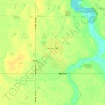
Name: Cartwright topographic map, elevation, terrain.
Location: Cartwright, Division No. 4, Manitoba, R0K 0L0, Canada (49.08874 -99.34710 49.09990 -99.33026)
Average elevation: 465 m
Minimum elevation: 449 m
Maximum elevation: 473 m
Other topographic maps
Click on a map to view its topography, its elevation and its terrain.