
Thank you for supporting this site ❤️
Make a donation
Make a donation
Barrow Creek topographic map
Click on the map to display elevation.
Thank you for supporting this site ❤️
Make a donation
Make a donation
About this map
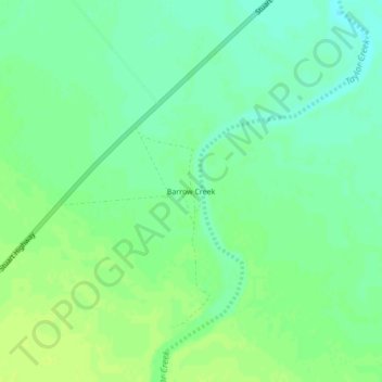
Name: Barrow Creek topographic map, elevation, terrain.
Location: Barrow Creek, Barkly Region, Northern Territory, Australia (-21.32871 134.03821 -21.28871 134.07821)
Average elevation: 445 m
Minimum elevation: 437 m
Maximum elevation: 451 m
Thank you for supporting this site ❤️
Make a donation
Make a donation
Other topographic maps
Click on a map to view its topography, its elevation and its terrain.