
Nogueira de Ramuín topographic map
Interactive map
Click on the map to display elevation.
About this map
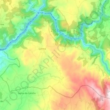
Name: Nogueira de Ramuín topographic map, elevation, terrain.
Location: Nogueira de Ramuín, Ourense, Galicia, Spain (42.35215 -7.79410 42.45427 -7.61654)
Average elevation: 539 m
Minimum elevation: 107 m
Maximum elevation: 1,261 m
Other topographic maps
Click on a map to view its topography, its elevation and its terrain.