
Thank you for supporting this site ❤️
Make a donation
Make a donation
Kayyunni topographic map
Click on the map to display elevation.
Thank you for supporting this site ❤️
Make a donation
Make a donation
About this map
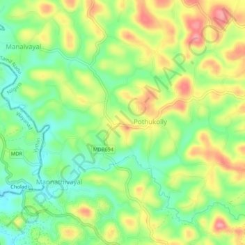
Name: Kayyunni topographic map, elevation, terrain.
Location: Kayyunni, Pandalur, Nilgiris, Tamil Nadu, 643205, India (11.51853 76.24409 11.55853 76.28409)
Average elevation: 858 m
Minimum elevation: 808 m
Maximum elevation: 920 m
Thank you for supporting this site ❤️
Make a donation
Make a donation
Other topographic maps
Click on a map to view its topography, its elevation and its terrain.