
Thank you for supporting this site ❤️
Make a donation
Make a donation
Bukit Kangkar topographic map
Click on the map to display elevation.
Thank you for supporting this site ❤️
Make a donation
Make a donation
About this map
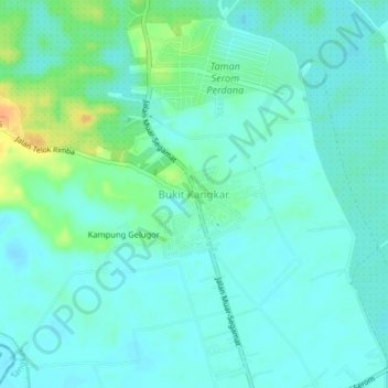
Name: Bukit Kangkar topographic map, elevation, terrain.
Location: Bukit Kangkar, Tangkak, Johor, 84400, Malaysia (2.15464 102.53387 2.19464 102.57387)
Average elevation: 11 m
Minimum elevation: 2 m
Maximum elevation: 38 m
Thank you for supporting this site ❤️
Make a donation
Make a donation