
El Cuchillo topographic map
Interactive map
Click on the map to display elevation.
About this map
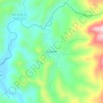
Name: El Cuchillo topographic map, elevation, terrain.
Location: El Cuchillo, Apartadó, Urabá, Antioquia, Colombie (7.85063 -76.57007 7.89063 -76.53007)
Average elevation: 245 m
Minimum elevation: 89 m
Maximum elevation: 586 m