
Thank you for supporting this site ❤️
Make a donation
Make a donation
Oxford Township topographic map
Click on the map to display elevation.
Thank you for supporting this site ❤️
Make a donation
Make a donation
About this map
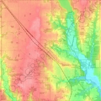
Name: Oxford Township topographic map, elevation, terrain.
Location: Oxford Township, Butler County, Ohio, United States (39.47847 -84.81604 39.56774 -84.70277)
Average elevation: 289 m
Minimum elevation: 233 m
Maximum elevation: 323 m
Thank you for supporting this site ❤️
Make a donation
Make a donation
Other topographic maps
Click on a map to view its topography, its elevation and its terrain.