
Hasenvenn topographic map
Interactive map
Click on the map to display elevation.
About this map
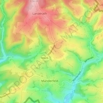
Name: Hasenvenn topographic map, elevation, terrain.
Location: Hasenvenn, Büllingen, Verviers, Luik, Wallonië, België (50.32248 6.32113 50.36248 6.36113)
Average elevation: 555 m
Minimum elevation: 474 m
Maximum elevation: 649 m