Al-Qusair topographic map
Click on the map to display elevation.
Al-Qusair
Al-Qusayr (Arabic: القصير, romanized: al-Quṣayr, Levantine Arabic pronunciation: [elʔʊˈsˤeːɾ], Standard Arabic: [alqʊˈsˤeːr, alqʊˈsˤɑjr]) is a city in western Syria, administratively part of the Homs Governorate. It is located about 35 kilometers (22 mi) south of Homs and is situated in a mountainous area overlooking Syria's border with Lebanon which lies 15 kilometres (9.3 miles) to the southwest. Nearby localities include Rablah and Zira'a to the south, Jandar further to the east, al-Dabaah to the northeast, Arjoun to the northwest and Aqrabiyah to the west. Al-Qusayr has an altitude of 540 meters (1,770 ft).
About this map
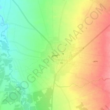
Name: Al-Qusair topographic map, elevation, terrain.
Average elevation: 540 m
Minimum elevation: 502 m
Maximum elevation: 585 m
Other topographic maps
Click on a map to view its topography, its elevation and its terrain.