
Cugy (FR) topographic map
Interactive map
Click on the map to display elevation.
About this map
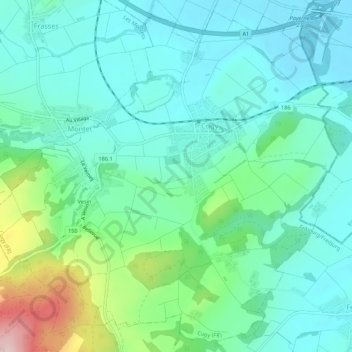
Name: Cugy (FR) topographic map, elevation, terrain.
Location: Cugy (FR), District de la Broye, Fribourg, 1482, Suisse (46.79276 6.85663 46.82764 6.91080)
Average elevation: 505 m
Minimum elevation: 443 m
Maximum elevation: 711 m