
Chañaral topographic map
Interactive map
Click on the map to display elevation.
About this map
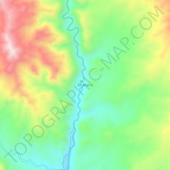
Name: Chañaral topographic map, elevation, terrain.
Location: Chañaral, Inclán, Tacna, Pérou (-17.75323 -70.48893 -17.71323 -70.44893)
Average elevation: 764 m
Minimum elevation: 584 m
Maximum elevation: 1,029 m