
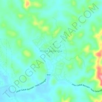
FELDA Gedangsa topographic map
Interactive map
Click on the map to display elevation.
About this map
Name: FELDA Gedangsa topographic map, elevation, terrain.
Location: FELDA Gedangsa, Hulu Selangor, 44020, Malaysia (3.71934 101.36372 3.75934 101.40372)
Average elevation: 41 m
Minimum elevation: 10 m
Maximum elevation: 143 m