
Leyburn topographic map
Interactive map
Click on the map to display elevation.
About this map
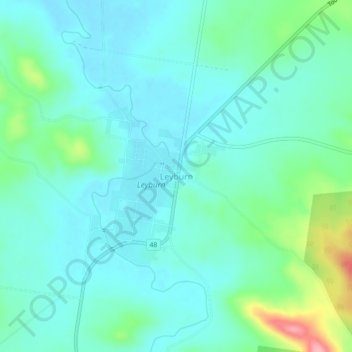
Name: Leyburn topographic map, elevation, terrain.
Location: Leyburn, Southern Downs Regional, Queensland, Australia (-28.02989 151.56570 -27.98989 151.60570)
Average elevation: 434 m
Minimum elevation: 407 m
Maximum elevation: 533 m