
Thank you for supporting this site ❤️
Make a donation
Make a donation
Athi topographic map
Click on the map to display elevation.
Thank you for supporting this site ❤️
Make a donation
Make a donation
About this map
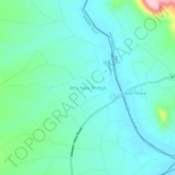
Name: Athi topographic map, elevation, terrain.
Location: Athi, Kibwezi West, Makueni, Eastern, Kenya (-2.22000 38.03000 -2.18000 38.07000)
Average elevation: 743 m
Minimum elevation: 699 m
Maximum elevation: 929 m
Thank you for supporting this site ❤️
Make a donation
Make a donation