
Mahasingi topographic map
Interactive map
Click on the map to display elevation.
About this map
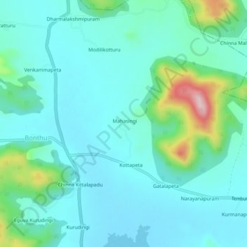
Name: Mahasingi topographic map, elevation, terrain.
Location: Mahasingi, Srikakulam, Andhra Pradesh, India (18.62906 84.02775 18.66906 84.06775)
Average elevation: 102 m
Minimum elevation: 54 m
Maximum elevation: 312 m