
Maseru topographic map
Interactive map
Click on the map to display elevation.
About this map
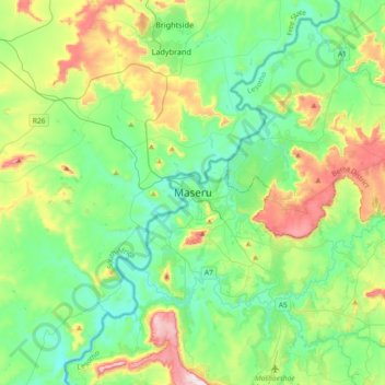
Name: Maseru topographic map, elevation, terrain.
Location: Maseru, Maseru District, 100, Lesotho (-29.47005 27.31822 -29.15005 27.63822)
Average elevation: 1,606 m
Minimum elevation: 1,460 m
Maximum elevation: 1,991 m