
saebong topographic map
Interactive map
Click on the map to display elevation.
About this map
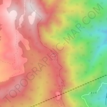
Name: saebong topographic map, elevation, terrain.
Location: saebong, Pyeongchang-gun, Gangwon-do, South Korea (37.71102 128.75204 37.71112 128.75214)
Average elevation: 893 m
Minimum elevation: 504 m
Maximum elevation: 1,147 m