
Thank you for supporting this site ❤️
Make a donation
Make a donation
Har Keren topographic map
Click on the map to display elevation.
Thank you for supporting this site ❤️
Make a donation
Make a donation
About this map
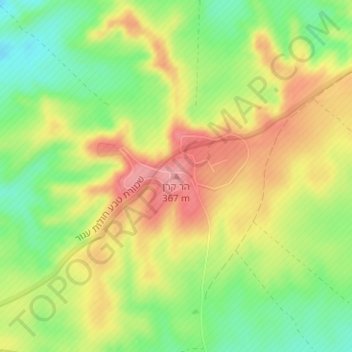
Name: Har Keren topographic map, elevation, terrain.
Location: Har Keren, Ramat Negev Regional Council, Israel (30.99430 34.49157 30.99440 34.49167)
Average elevation: 324 m
Minimum elevation: 272 m
Maximum elevation: 376 m
Thank you for supporting this site ❤️
Make a donation
Make a donation