Geolocate
👉 Easily get elevation data in JSON, GeoTIFF and KML formats using Elevation API
Thank you for supporting this site ❤️
Make a donation

Hojai topographic map

Click on the map to display elevation.

👉 Easily get elevation data in JSON, GeoTIFF and KML formats using Elevation API
Thank you for supporting this site ❤️
Make a donation

About this map

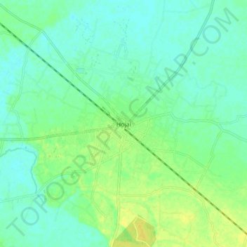
Name: Hojai topographic map, elevation, terrain.

Location: Hojai, Assam, 782435, India (25.96319 92.81229 26.04319 92.89229)

Average elevation: 72 m

Minimum elevation: 64 m

Maximum elevation: 84 m