
Thank you for supporting this site ❤️
Make a donation
Make a donation
Alto Sanibeni topographic map
Click on the map to display elevation.
Thank you for supporting this site ❤️
Make a donation
Make a donation
About this map
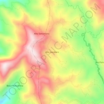
Name: Alto Sanibeni topographic map, elevation, terrain.
Location: Alto Sanibeni, Mazamari, Satipo, Junín, Perú (-11.43635 -74.41689 -11.39635 -74.37689)
Average elevation: 1,193 m
Minimum elevation: 884 m
Maximum elevation: 1,453 m
Thank you for supporting this site ❤️
Make a donation
Make a donation
Other topographic maps
Click on a map to view its topography, its elevation and its terrain.