
Thank you for supporting this site ❤️
Make a donation
Make a donation
Rakhundi Top topographic map
Click on the map to display elevation.
Thank you for supporting this site ❤️
Make a donation
Make a donation
About this map
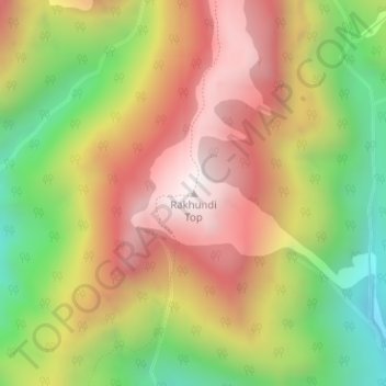
Name: Rakhundi Top topographic map, elevation, terrain.
Location: Rakhundi Top, Banjar, Kullu, Himachal Pradesh, India (31.70073 77.49189 31.70083 77.49199)
Average elevation: 3,095 m
Minimum elevation: 2,530 m
Maximum elevation: 3,610 m
Thank you for supporting this site ❤️
Make a donation
Make a donation