
Thank you for supporting this site ❤️
Make a donation
Make a donation
Gray topographic map
Click on the map to display elevation.
Thank you for supporting this site ❤️
Make a donation
Make a donation
About this map
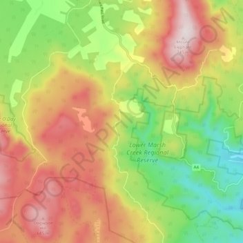
Name: Gray topographic map, elevation, terrain.
Location: Gray, Break O'Day, Tasmania, Australia (-41.68195 148.17623 -41.60874 148.27070)
Average elevation: 383 m
Minimum elevation: 25 m
Maximum elevation: 758 m
Thank you for supporting this site ❤️
Make a donation
Make a donation