
Thank you for supporting this site ❤️
Make a donation
Make a donation
Ciudad Mante topographic map
Click on the map to display elevation.
Thank you for supporting this site ❤️
Make a donation
Make a donation
Ciudad Mante
El Cielo (The Heaven) a protected cloud forest covers a land mass of 144,530 hectares (~357,129 acres) and is a paradise for the great quantity of species that inhabit it. There are 175 distinct species of migratory birds and 225 local fowl, various amphibious and mammals, as well as white tail deer, jaguar and black bear. This is due to the unique climatological, biological and topographical conditions in El Cielo.
Thank you for supporting this site ❤️
Make a donation
Make a donation
About this map
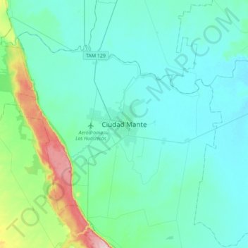
Name: Ciudad Mante topographic map, elevation, terrain.
Location: Ciudad Mante, El Mante, Tamaulipas, 89800, Mexico (22.58113 -99.13141 22.90113 -98.81141)
Average elevation: 105 m
Minimum elevation: 47 m
Maximum elevation: 468 m
Thank you for supporting this site ❤️
Make a donation
Make a donation