
Ponte topographic map
Interactive map
Click on the map to display elevation.
About this map
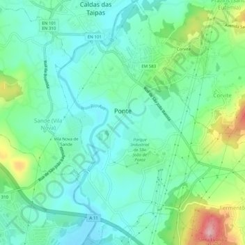
Name: Ponte topographic map, elevation, terrain.
Location: Ponte, Guimarães, Braga, Ave, Norte, Portugal (41.45092 -8.35217 41.48812 -8.31969)
Average elevation: 144 m
Minimum elevation: 97 m
Maximum elevation: 274 m