
Thank you for supporting this site ❤️
Make a donation
Make a donation
Grand Canal Dock topographic map
Click on the map to display elevation.
Thank you for supporting this site ❤️
Make a donation
Make a donation
About this map
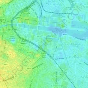
Name: Grand Canal Dock topographic map, elevation, terrain.
Location: Grand Canal Dock, Dublin, County Dublin, Leinster, Ireland (53.33972 -6.23907 53.34413 -6.23049)
Average elevation: 8 m
Minimum elevation: -2 m
Maximum elevation: 22 m
Thank you for supporting this site ❤️
Make a donation
Make a donation
Other topographic maps
Click on a map to view its topography, its elevation and its terrain.