
Bollersleben topographic map
Interactive map
Click on the map to display elevation.
About this map
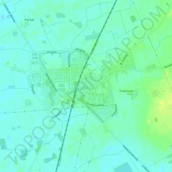
Name: Bollersleben topographic map, elevation, terrain.
Location: Bollersleben, Kommune Apenrade, Region Süddänemark, Dänemark (54.98440 9.27218 54.99567 9.29732)
Average elevation: 34 m
Minimum elevation: 28 m
Maximum elevation: 44 m