
Bell Wharf Beach topographic map
Interactive map
Click on the map to display elevation.
About this map
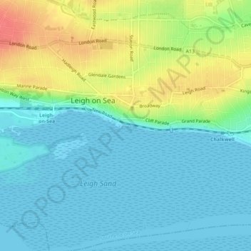
Name: Bell Wharf Beach topographic map, elevation, terrain.
Average elevation: 17 m
Minimum elevation: 0 m
Maximum elevation: 57 m
Other topographic maps
Click on a map to view its topography, its elevation and its terrain.
Leigh on Sea
United Kingdom > England > Leigh on Sea
Leigh on Sea, Southend-on-Sea, East of England, England, SS9 2XE, United Kingdom
Average elevation: 29 m