
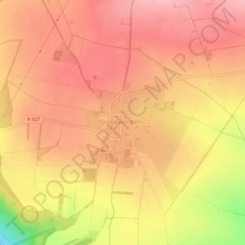
Großberndten topographic map
Interactive map
Click on the map to display elevation.
About this map
Name: Großberndten topographic map, elevation, terrain.
Average elevation: 391 m
Minimum elevation: 288 m
Maximum elevation: 435 m
Other topographic maps
Click on a map to view its topography, its elevation and its terrain.
Thalebra
Deutschland > Thüringen > Kyffhäuserkreis > Sondershausen
Thalebra, Sondershausen, Kyffhäuserkreis, Thüringen, Deutschland
Average elevation: 282 m
Wettenburg (Hainleite)
Deutschland > Thüringen > Kyffhäuserkreis > Sondershausen
Wettenburg (Hainleite), Sondershausen, Kyffhäuserkreis, Thüringen, Deutschland
Average elevation: 415 m
Großfurra
Deutschland > Thüringen > Kyffhäuserkreis > Sondershausen
Großfurra, Sondershausen, Kyffhäuserkreis, Thüringen, 99706, Deutschland
Average elevation: 276 m