
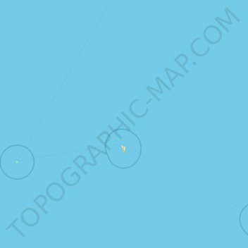
Rurutu topographic map
Click on the map to display elevation.
About this map
Name: Rurutu topographic map, elevation, terrain.
Location: Rurutu, Austral Islands, French Polynesia, 98753, France (-22.52517 -154.72268 -21.81186 -151.32098)
Average elevation: 0 m
Minimum elevation: 0 m
Maximum elevation: 263 m