
Hernando County topographic map
Interactive map
Click on the map to display elevation.
About this map
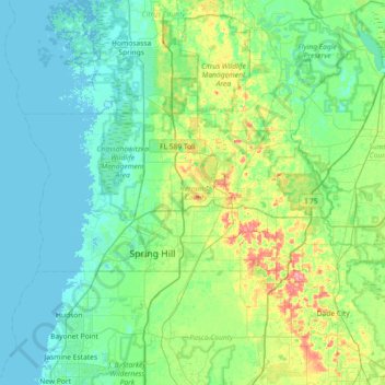
Name: Hernando County topographic map, elevation, terrain.
Location: Hernando County, Floride, États-Unis d'Amérique (28.43329 -82.77844 28.69486 -82.05447)
Average elevation: 18 m
Minimum elevation: -1 m
Maximum elevation: 92 m