
Thank you for supporting this site ❤️
Make a donation
Make a donation
Kedung Baruk topographic map
Click on the map to display elevation.
Thank you for supporting this site ❤️
Make a donation
Make a donation
About this map
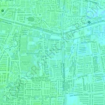
Name: Kedung Baruk topographic map, elevation, terrain.
Location: Kedung Baruk, Rungkut, Surabaya, East Java, 60298, Indonesia (-7.32252 112.77067 -7.30864 112.78378)
Average elevation: 4 m
Minimum elevation: 0 m
Maximum elevation: 6 m
Thank you for supporting this site ❤️
Make a donation
Make a donation
Other topographic maps
Click on a map to view its topography, its elevation and its terrain.