
Thank you for supporting this site ❤️
Make a donation
Make a donation
Sovereign topographic map
Click on the map to display elevation.
Thank you for supporting this site ❤️
Make a donation
Make a donation
About this map
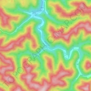
Name: Sovereign topographic map, elevation, terrain.
Location: Sovereign, Logan County, West Virginia, 25022, United States (37.84177 -81.84623 37.88177 -81.80623)
Average elevation: 457 m
Minimum elevation: 291 m
Maximum elevation: 602 m
Thank you for supporting this site ❤️
Make a donation
Make a donation