
Thank you for supporting this site ❤️
Make a donation
Make a donation
Laxmi Bai Nagar topographic map
Click on the map to display elevation.
Thank you for supporting this site ❤️
Make a donation
Make a donation
About this map
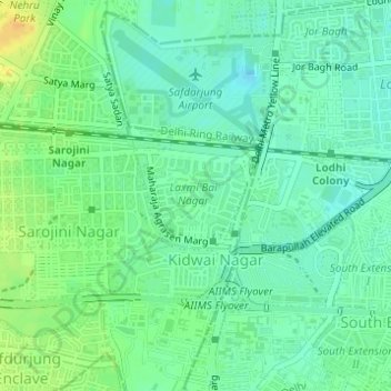
Name: Laxmi Bai Nagar topographic map, elevation, terrain.
Location: Laxmi Bai Nagar, Vasant Vihar Tehsil, New Delhi, Delhi, India (28.57311 77.20139 28.58045 77.21133)
Average elevation: 218 m
Minimum elevation: 207 m
Maximum elevation: 236 m
Thank you for supporting this site ❤️
Make a donation
Make a donation
Other topographic maps
Click on a map to view its topography, its elevation and its terrain.