
Corjolens topographic map
Interactive map
Click on the map to display elevation.
About this map
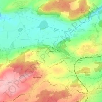
Name: Corjolens topographic map, elevation, terrain.
Location: Corjolens, Avry, District de la Sarine, Fribourg, 1754, Suisse (46.76537 7.02497 46.80537 7.06497)
Average elevation: 676 m
Minimum elevation: 593 m
Maximum elevation: 770 m