
Thank you for supporting this site ❤️
Make a donation
Make a donation
La Perla topographic map
Click on the map to display elevation.
Thank you for supporting this site ❤️
Make a donation
Make a donation
About this map
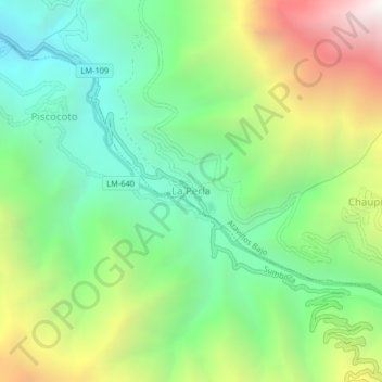
Name: La Perla topographic map, elevation, terrain.
Location: La Perla, Atavillos Bajo, Provincia de Huaral, Lima, Perú (-11.39225 -76.81864 -11.35225 -76.77864)
Average elevation: 2,621 m
Minimum elevation: 1,894 m
Maximum elevation: 3,915 m
Thank you for supporting this site ❤️
Make a donation
Make a donation