
Pakyong topographic map
Interactive map
Click on the map to display elevation.
About this map
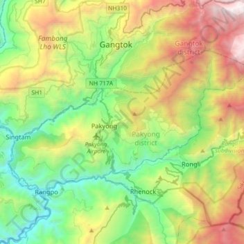
Name: Pakyong topographic map, elevation, terrain.
Location: Pakyong, East Sikkim District, Sikkim, India (27.17268 88.48547 27.32259 88.77279)
Average elevation: 1,528 m
Minimum elevation: 234 m
Maximum elevation: 4,025 m
Other topographic maps
Click on a map to view its topography, its elevation and its terrain.