
Thank you for supporting this site ❤️
Make a donation
Make a donation
Mehra topographic map
Click on the map to display elevation.
Thank you for supporting this site ❤️
Make a donation
Make a donation
About this map
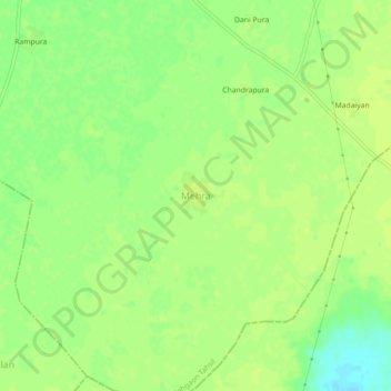
Name: Mehra topographic map, elevation, terrain.
Location: Mehra, Mehgaon Tahsil, Bhind, Madhya Pradesh, India (26.26439 78.74787 26.30439 78.78787)
Average elevation: 153 m
Minimum elevation: 142 m
Maximum elevation: 157 m
Thank you for supporting this site ❤️
Make a donation
Make a donation