
Thank you for supporting this site ❤️
Make a donation
Make a donation
Gambier topographic map
Click on the map to display elevation.
Thank you for supporting this site ❤️
Make a donation
Make a donation
About this map
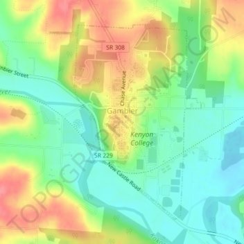
Name: Gambier topographic map, elevation, terrain.
Location: Gambier, College Township, Knox County, Ohio, United States (40.36359 -82.40407 40.38517 -82.38567)
Average elevation: 311 m
Minimum elevation: 279 m
Maximum elevation: 354 m
Thank you for supporting this site ❤️
Make a donation
Make a donation