
Thank you for supporting this site ❤️
Make a donation
Make a donation
桥西 topographic map
Click on the map to display elevation.
Thank you for supporting this site ❤️
Make a donation
Make a donation
About this map
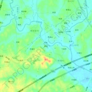
Name: 桥西 topographic map, elevation, terrain.
Location: 桥西, Xiaonanhai, Longyou County, Quzhou, Zhejiang, China (29.05672 119.12663 29.09672 119.16663)
Average elevation: 56 m
Minimum elevation: 42 m
Maximum elevation: 84 m
Thank you for supporting this site ❤️
Make a donation
Make a donation